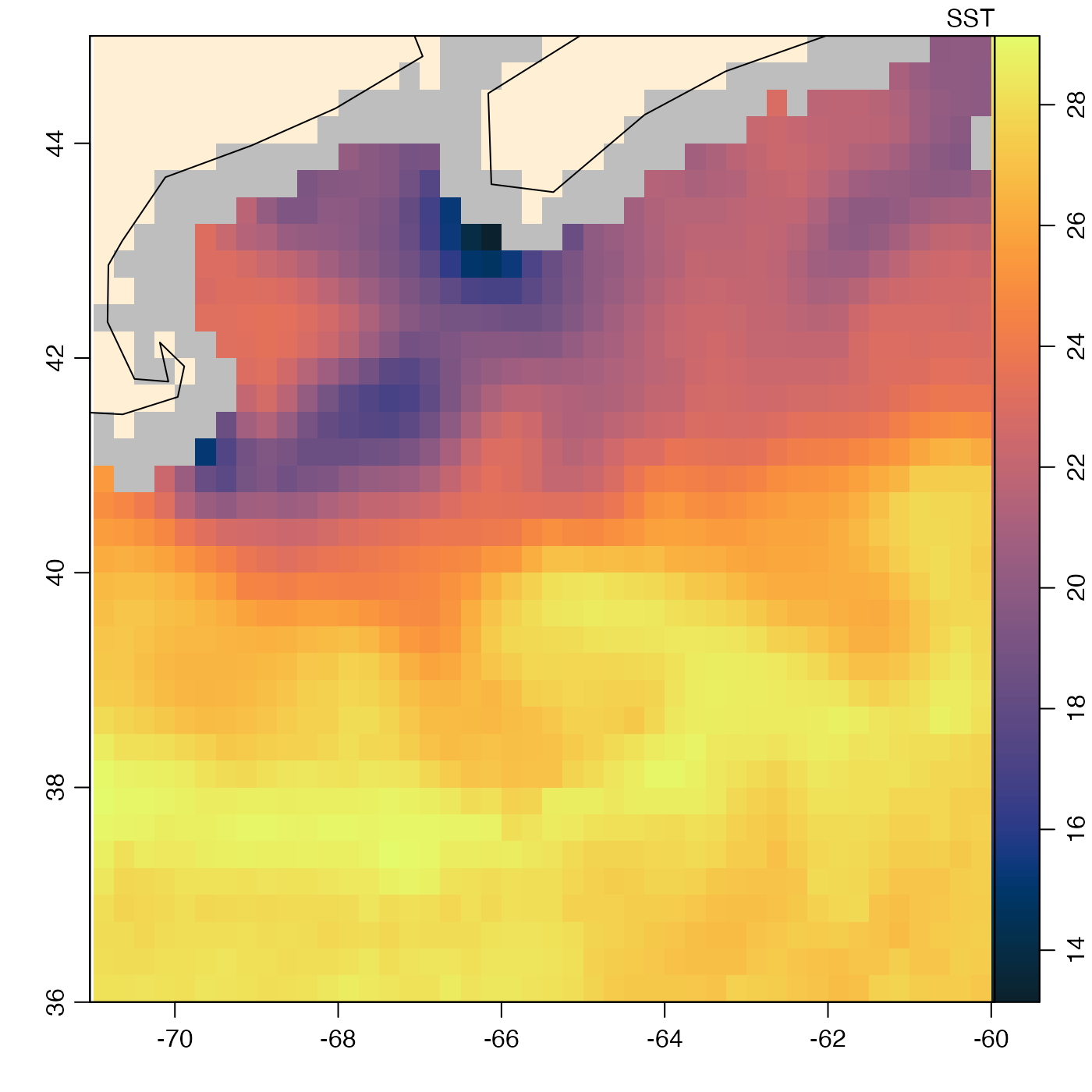
This is a three-day composite satellite image for July 27, 2023, trimmed to show waters south and east of Nova Scotia, using code provide in the “Details” section.
Usage
data(amsr)See also
Other satellite datasets provided with oce:
landsat
Other datasets provided with oce:
adp,
adv,
argo,
cm,
coastlineWorld,
ctd,
ctdRaw,
echosounder,
landsat,
lisst,
lobo,
met,
ocecolors,
rsk,
sealevel,
sealevelTuktoyaktuk,
section,
topoWorld,
wind,
xbt
Other things related to amsr data:
[[,amsr-method,
[[<-,amsr-method,
amsr-class,
composite,amsr-method,
download.amsr(),
plot,amsr-method,
read.amsr(),
subset,amsr-method,
summary,amsr-method