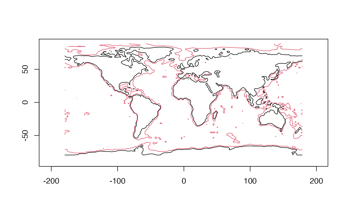
topo2 is a matrix containing world topography data, on a 2-degree grid.
This is provided for occasions where the higher resolution topography in
topoWorld from the Oce package is not needed. See “Examples” for a
plot that illustrates the longitude and latitude grid for the data.
data(topo2, package="ocedata")Details
The data are calculated by applying decimate() to the topoWorld
dataset from the oce package, followed by extraction of the "z" value.
